You're closer to more than you think.
366 places worth driving to — waterfalls, caves, riverfronts, state parks and the restaurants a town is actually known for — sorted by how long it takes to get there. Not by miles. By hours behind the wheel.
Free, no account, nothing to install. Every drive time measured along real roads.
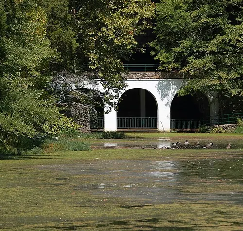
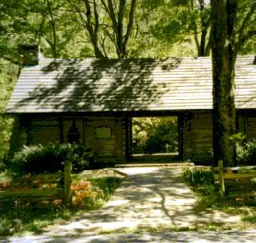
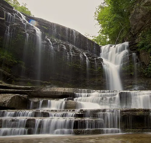
A circle on a map is a lie.
Draw a hundred-mile ring around Clarksville and it treats I-24 the same as a two-lane through Land Between the Lakes. It isn't the same. So the rings here aren't circles — they're real drive-time contours, measured along actual roads in every direction, and every place is placed by the time it truly takes.
Everything, grouped by how far you feel like driving.
Some are famous. Most aren't.
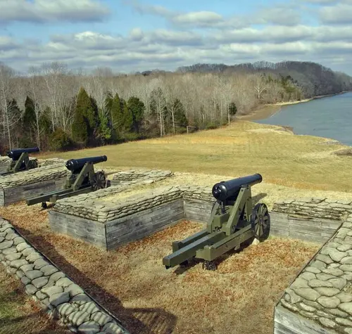
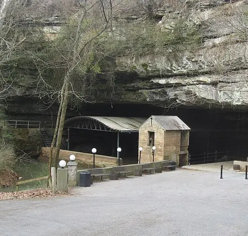
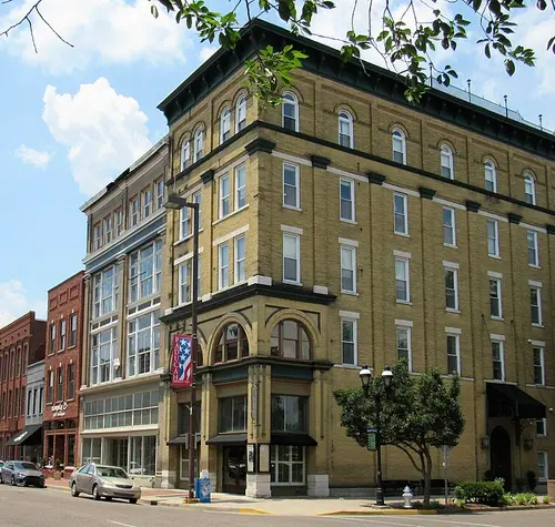
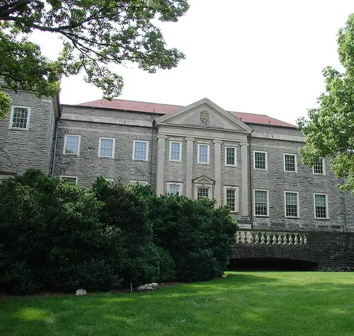
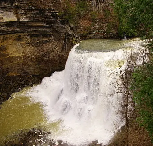
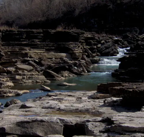
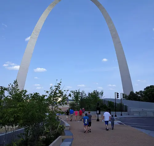
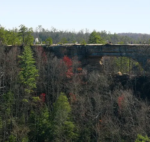
A planning tool, not another map app.
Real routed times
Every drive time is measured along real roads and stored ahead of time. Nothing is guessed from straight-line distance.
What the tank costs
Set your mpg and what you're paying at the pump, and each trip shows a round-trip fuel estimate.
Filter by the day you want
Waterfalls, swimming holes, riverfronts, caves, casinos, ski hills, or somewhere that's worth the table. Family, couples, history, music.
No account, no ads
Nothing to sign up for, no cookies, no ad trackers, nothing to install. Just a private count of how many people visit.
No turn-by-turn
This is for deciding where to go. You'll use your own GPS on the day.
Works on your phone
Built to be usable one-handed in a parking lot, not just on a laptop.
If you're new to town — plenty of people arrive in Clarksville on orders or for a job, spend the first year driving back and forth to Nashville, and find out about the rest on the way out.
Fort Campbell alone rotates thousands of families through here, and two or three years goes quickly. This is the list of what was always within reach, before it's time to leave.
So — how far do you feel like driving?
60 places are inside an hour. You've probably driven past half of them.
Open the radar